Premier Sponsor:
| Manufacturer: | Peregrine Outfitters | ||
This item may be available at:
|
|||
Description
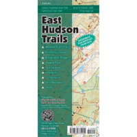
This 3-map set covers the trails on the east side of the Hudson River from just north of Peekskill to Beacon, as well as Fahnestock State Park. Also included are Hudson Highlands Gateway Park and lands of the Audubon Society, Scenic Hudson and the OpenSpace Institute. The maps also show the route of the Appalachian Trail from the Bear Mountain Bridge to the Putnam-Dutchess county line. Vivid 5-color graphics on the maps front sides clearly depict the full range of the areas geographic features,including topographic contours rivers, streams, lakes and wetlands viewpoints and access points, including roadside parking and parking areas. A green overlay designates publicly-owned open space that is accessible to hikers.


 Previous

